The Nerang township developed following the establishment of cotton and sugar plantations on the Nerang River at Carrara, Bundall, and Benowa. In 1865, after completing survey work at Benowa Plantation, Government Surveyor, Martin Lavelle, selected the site for the township on a slope overlooking the Nerang River.
Surveyor Lavelle named the first surveyed streets after planters such as Edmund Price and the pastoralist William Duckett White and a number of different suggestions have been made for the meaning of Nerang itself. One of these is, neerang, which is believed to refer to either a little or shovel nosed shark.
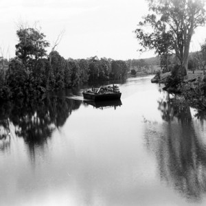
The Nerang Wharf was a vital river transport conduit for produce and supplies for the small town with the Maid of Sker being one of the best known coastal steamers that regularly made their way up the Nerang river from Southport. Access to the wharf was problematic for some of the residents who raised concerns about the demands placed on horses pulling carts.
By 1876, the township served the needs of a rural population of farmers and timber workers and featured a school and hotel. After 1889, the South Coast Railway Line connecting Nerang to South Brisbane was operational and Nerang station offered local residents greater transport options for produce and supplies.
-
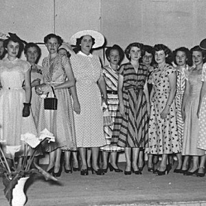
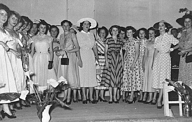
- Ladies at the Nerang School of Arts, circa 1950. Photographer unknown
-
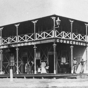
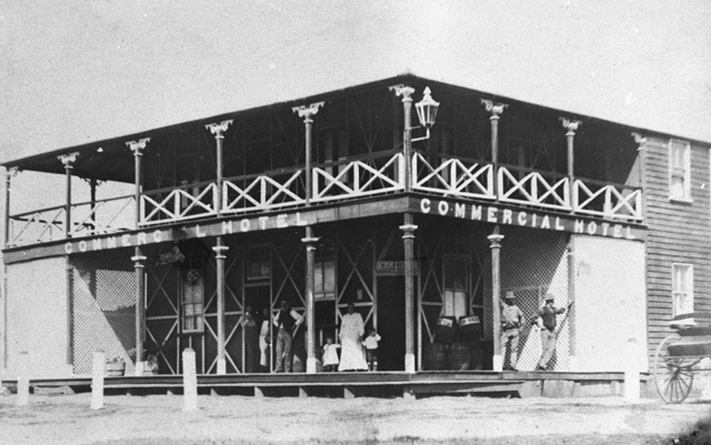
- The Commercial Hotel Nerang, circa 1900. Photographer unknown
-
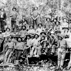
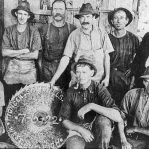
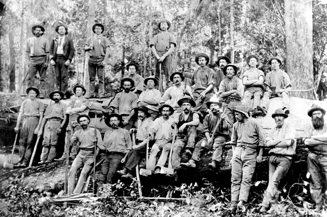
- Timber cutters and railway workers, Nerang, circa 1914. Photographer unknown
Nerang became the administrative centre for the region, with a courthouse, police station and meeting place for local councillors. Local government representation began with the Nerang Divisional Board formed in 1879 and then the Nerang Shire Council which formed in 1902.
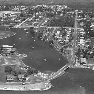
One hundred years after its establishment, Nerang expanded in response to the Gold Coast’s rapidly growing population. Many people made their homes in the new estates which had grown into the hinterland and around Nerang’s centre, including Highland Park.
Considerable commercial, service and light industrial development has grown around the original town of Nerang particularly with the establishment of the Pacific Highway route through the eastern section of the town following the path of the railway line which closed in the mid-1960s.
Sources of information and further reading
- Longhurst, Robert. Nerang Shire: a history to 1949. Nerang: Albert Shire Council, 1994.
- Jones, Michael Anthony. Country of five rivers: Albert Shire 1788-1988. Sydney: Allen & Unwin, 1988.
- Gresty, J. A., 1947, The Numinbah Valley, Its Geography History and Aboriginal associations, John Oxley Journal 2/80).
- Meston Archibald, 1905, John Oxley Journal 2/80.
- “Verdant valleys rippling river and gurgling creeks.” South Coast (Southport, Qld.) 21 Dec 1926.
- “The makers of history: recollections of a South Coast pioneer.” South Coast Bulletin (Southport, Qld.) 4 Oct 1929, p. 1.
- “The Nerang district: its early history.” South Coast Bulletin (Southport, Qld.) 29 May 1957, p. 6.
- “Move to retain rail line to Nerang.” South Coast Bulletin (Southport, Qld.) 7 Apr 1961, p. 4.
- “The river was the pioneers’ highway.” Gold Coast Bulletin (Southport, Qld.) 26 Mar 1977.
- “Story starts with timber.” Gold Coast Bulletin (Southport, Qld.) 26 Jun 1980, p. 40.
- “Correspondence.” Logan Witness (Beenleigh, Qld. : 1878 – 1893) 19 August 1882: 2. Web. 9 Mar 2016 http://nla.gov.au/nla.news-article163899059