Main Beach, located on the eastern side of the Nerang River estuary (The Broadwater) is bounded to the north by The Spit and by a narrow isthmus (Narrow Neck or Narrowneck) extending to Surfers Paradise in the south.
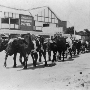
The name Main Beach is descriptive, since it was the main surf beach for the town of Southport, the earliest surveyed town in the immediate area. Prior to the construction of the Jubilee Bridge, visitors were ferried across the Nerang River to surf at the main beach. Following the construction of the Jubilee Bridge in 1925, visitors could walk across the bridge from Southport, and the land was auctioned and holiday houses built.
-
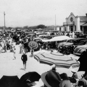
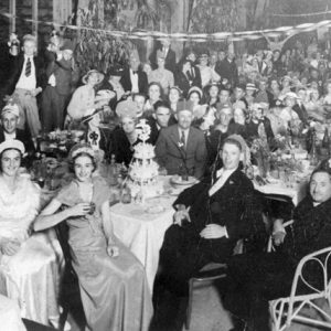
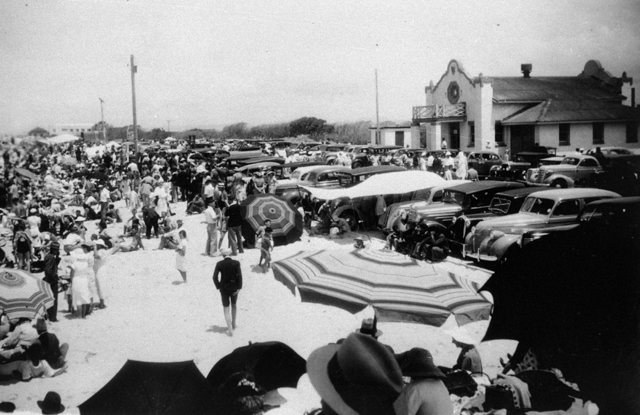
- The Main Beach of Southport, circa 1930s Photographer Unknown
-
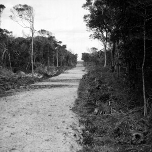
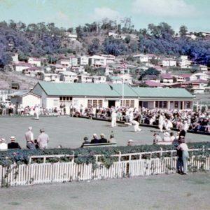
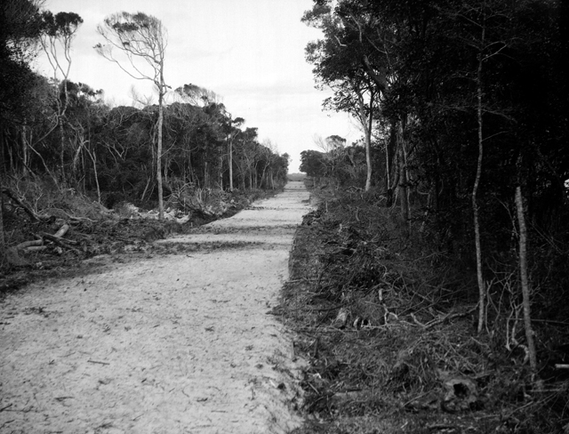
- Believed to be the road through Main Beach, circa 1930s. Photographer George A Jackman
-
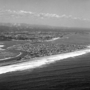
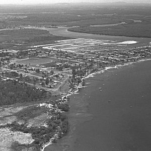
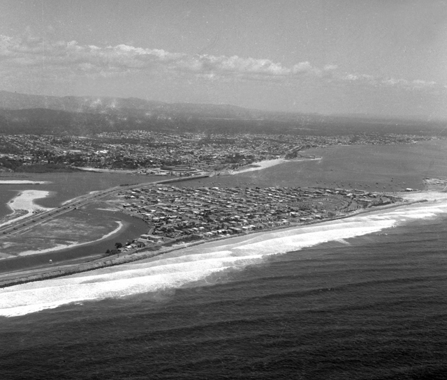
- Aerial view over Main Beach, 1968. Photographer Bob Avery
Visitors were important to the local economy and the Southport Town Council opened the Main Beach Bathing Pavilion in 1934 to cater to the comfort of visitors, tourists and residents alike.
Land reclamation to the west of the surf beaches began as early as the 1930s by the Southport Beaches Company which was managed by Alex Stafford with a syndicate that included Bill Rankin. Great interest was in the project that saw sand pumped from the north of the Jubilee Bridge to cover acres of tidal swamp behind Main Beach camping ground to create land suitable for residential development. One of the first areas to be filled was Shark Bay.
Today Main Beach high rise buildings are focused on Tedder Avenue with a permanent residential neighbourhood, restaurants and coffee shops.
Sources of information further reading
- RECLAIMING LAND AT SOUTHPORT. (1938, May 15). Sunday Mail, p. 15. Retrieved August 29, 2015, from Web. http://nla.gov.au/nla.news-article97869647
- RECLAMATION SCHEME. (1938, September 30). South Coast Bulletin, p. 12. Retrieved August 29, 2015, from Web. http://nla.gov.au/nla.news-article133765984